

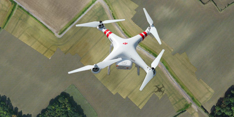

Imagine sending a drone to take pictures above your neighborhood, then compiling those photos into an extremely high-resolution, local map.
Get Started for FREE
Sign up with Facebook Sign up with X
I don't have a Facebook or a X account


 Your new post is loading...
 Your new post is loading...
Your new post is loading...
Imagine sending a drone to take pictures above your neighborhood, then compiling those photos into an extremely high-resolution, local map. 
No comment yet.
Sign up to comment
|

The American government’s campaign of targeted killings and drone strikes has put the country on a “slippery slope” toward perpetual war, according to a new study from a global security think-tank.
|


